Construction Law
The Benefits of Drone Mapping for Construction Professionals Part 1
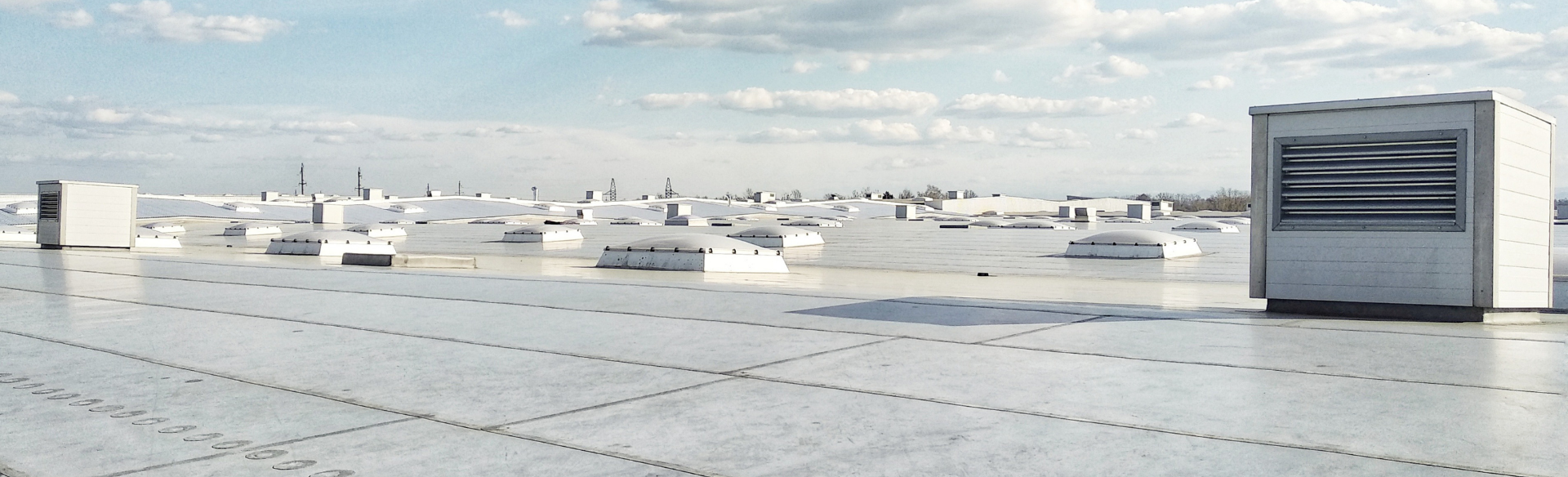
At Cotney, we endeavor to stay on the cutting edge of technology that can be of great value to the construction industry. Currently, drones are one of the greatest technological advancements being utilized in the industry. Drones deliver sophisticated data and visual progress reports, and allow construction managers to track, map, survey, and manage projects more efficiently. When leveraged properly, drone mapping can have a positive impact on your construction costs, quality, and more.
In parts one, two, and three, our Jacksonville construction lawyers will share some of the benefits of drone mapping.
Spot Issues and Reduce Risk
Some areas of a construction site are difficult to inspect. There are some places (i.e., swamps, marshes, or steep embankments) that are nearly impossible for workers to reach. Drones can identify these areas and reduce the need for workers to map these areas. Key stakeholders gain greater visibility to spot problems and mitigate the types of risks that can lead to expensive project delays. Accurate up-to-date information gives construction means that subcontractors or any other third-parties will have the critical information they need to minimize delays, disputes, and the need for a Jacksonville construction lawyer.
Increased Safety
Speaking of reducing risk, using drones is much safer for your crews. Some areas are hazardous for your crews. If your crew needs to map or survey rough and uneven areas such as terrains, or cliffs that can put their lives in jeopardy. A drone allows your crew to get close-us aerial views without putting their lives in danger.
More Effective Communication and Information Sharing
If your team communication methods have become complicated, using drones will simplify both your internal and external communication and information sharing. Aerial imagery enables your team to stay aligned and abreast of the most up-to-date visual data. Cloud-based software makes sharing annotated maps easier. External stakeholders will always know the progress of a project through shared links and interactive 3D models of a jobsite.
If you would like to speak with a Jacksonville contractor lawyer, please contact us today.
Disclaimer: The information contained in this article is for general educational information only. This information does not constitute legal advice, is not intended to constitute legal advice, nor should it be relied upon as legal advice for your specific factual pattern or situation.